Einige Informationen werden in englischer Sprache angezeigt.
Über mich
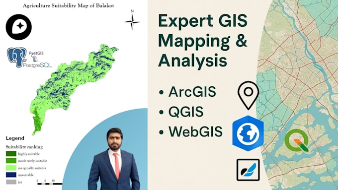
I’m a Remote Sensing & GIS specialist with a strong academic and professional background in geospatial analysis, environmental modeling, and data science. I’ve developed WebGIS apps, automated spatial workflows in Python, and delivered spatial decision systems for agriculture, LULC, and mineral mapping. I use tools like ArcGIS, QGIS, Google Earth Engine, Python, Power BI and Tableau to provide actionable geospatial insights. Let’s build something impactful together!... Mehr lesen