Kategorien durchsuchen
Entdecken
Fiverr Pro
Deutsch
$
USD

Geospatial Data Scientist And WebGIS Developer
Kompetenzen
Meine Dienstleistungen
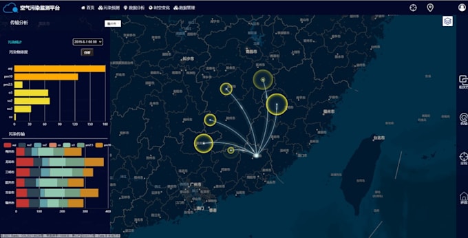
GIS Developer & Spatial Analyst
GEODIS • Vollzeit
Aug 2023 - Apr 2025 • 1 yr 8 mos
Designed and developed custom WebGIS applications using JavaScript, Leaflet, and GeoServer for municipal clients. Implemented spatial databases (PostgreSQL/PostGIS) and automated data pipelines with Python. Conducted advanced spatial analysis for urban planning and transportation projects. Delivered interactive mapping solutions that improved client decision-making processes.
Junior GIS Analyst
Geo • Vollzeit
Aug 2022 - Jul 2023 • 11 mos
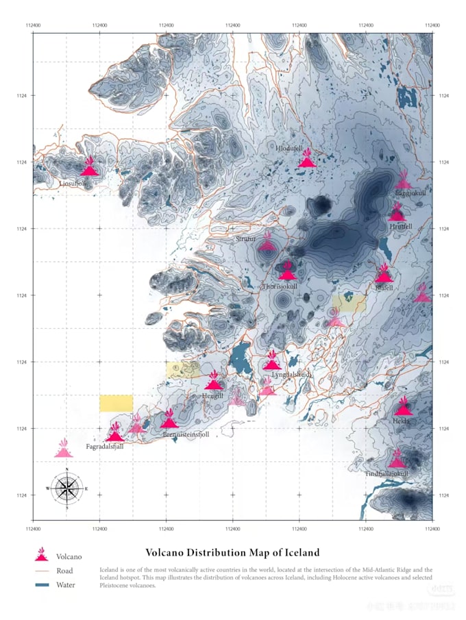
Worked on environmental impact assessment projects, conducting spatial analysis using ArcGIS Pro and QGIS. Developed Python scripts for automating terrain modeling and hydrological analysis. Created high-quality cartographic outputs and interactive dashboards for client presentations. Collaborated with engineers and planners to integrate geospatial data into project deliverables.
Geospatial Intern
Geographical Norway • Teilzeit
Apr 2021 - Jun 2021 • 2 mos
Assisted senior geospatial analysts in processing and standardizing large-scale provincial datasets using Python and ArcPy. Developed automated scripts for data cleaning and quality control. Created thematic maps and web map services for internal government reporting. Gained hands-on experience with BC’s spatial data infrastructure and metadata standards.
