Einige Informationen werden in englischer Sprache angezeigt.
Über mich
Hello, I am a GIS Analyst with 3+ years of experience working with ArcGIS, QGIS, Python, and PostGIS.
I can help you with:
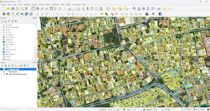
Map digitization (buildings, roads, land use, etc.)
Shapefile to KML/GeoJSON/CSV conversion
Spatial data analysis (buffer, overlay, NDVI, etc.)
Drone / satellite image processing
Python automation for geospatial tasks
You will get accurate and fast delivery with clear outputs.
Contact me before placing an order so we can discuss your project in detail.... Mehr lesen