w
williamfeishi

Bill S

@williamfeishi

GIS and remote sensing specialist

China
Englisch
Einige Informationen werden in englischer Sprache angezeigt.
Über mich
I am a GIS and remote sensing specialist who turns satellite imagery and spatial data into clear, publication-quality maps and solid, reproducible analysis. I work with an open, verifiable toolchain including QGIS, GDAL, Python, and Google Earth Engine, ensuring accuracy and data limits are checked before delivery. Every project I provide is print-ready and documented so you can reuse, cite, and defend the work.... Mehr lesen

Kompetenzen

w
williamfeishi
Bill S
offline • 

Meine Dienstleistungen

Geoinformationssysteme (GIS)
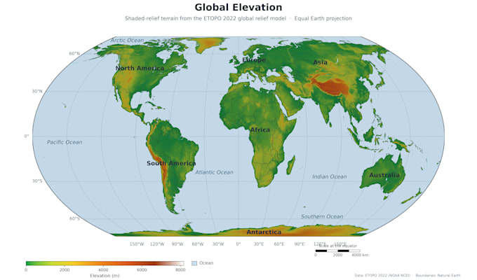
I will create gis maps and remote sensing land use analysis
Statistische Modellierung & Analyse
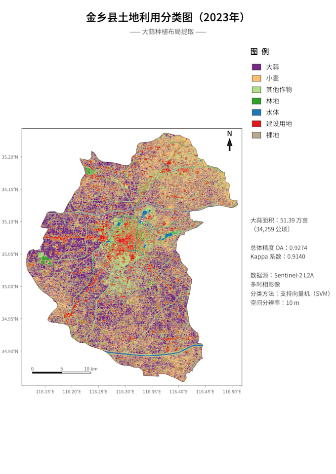
I will do remote sensing land cover classification and change detection

Arbeitserfahrung

Fiverr

Freelance GIS & Remote Sensing Specialist

Fiverr • Freiberufler

Jan 2020 - Present • 6 yrs 10 mos

Provides professional GIS and remote sensing services, specializing in turning satellite imagery into publication-quality maps. Responsibilities include land use/land cover classification using Sentinel-2 and Landsat, NDVI mapping, change detection, and DEM terrain analysis. Delivers print-ready 300 DPI maps with documented methods and source data for academic papers, theses, and project reports. Expertise includes hyperspectral workflows, spatial data cleaning, and multi-date comparison analysis.