Kategorien durchsuchen
Entdecken
Fiverr Pro
Deutsch
$
USD

GIS Specialist, Cartographer, QGIS, ArcGIS Pro
Kompetenzen
Meine Dienstleistungen

Freelance GIS Specialist
Self-Employed / Freelancer • Selbstständig
Jan 2025 - Present • 1 yr 9 mos
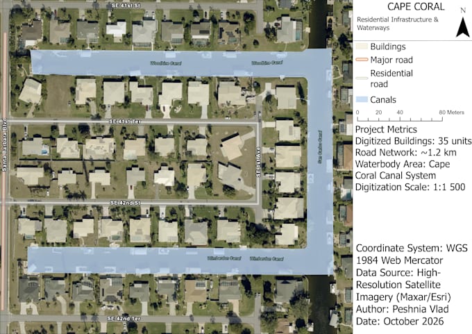
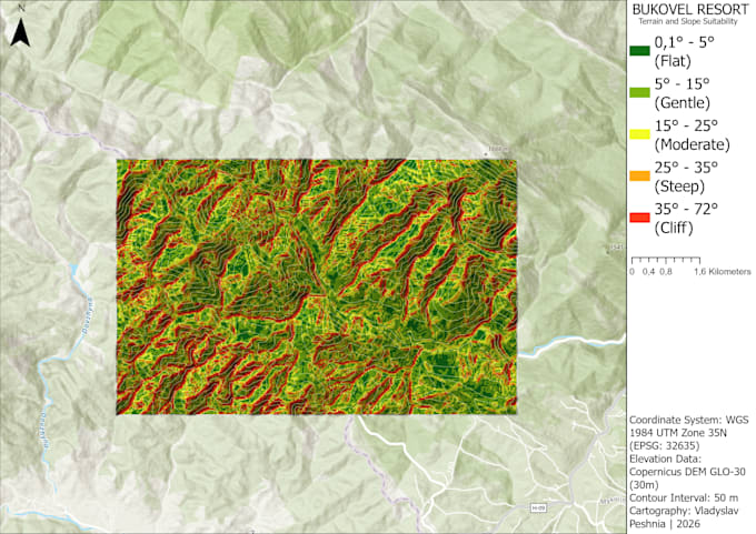
Providing freelance GIS and cartographic services for spatial data and mapping projects. Key responsibilities: • Digitizing cadastral parcels, roads, and land-use boundaries from high-resolution orthophotography and satellite imagery. • Georeferencing raster maps, master plans, and CAD drawings with precise coordinate alignment. • Performing topological cleanups (fixing slivers, dangles, and overlaps) and formatting attribute tables. • Processing digital elevation models (DEM) and generating contour lines in QGIS and ArcGIS Pro. • Exporting clean datasets in Shapefile (.shp), GeoPackage (.gpkg), and print-ready PDF map layouts.
