I will build gis projects using ready to use layers arcgis and qgis

T
tutor_ben
T
tutor_ben
Ben M
Einige Informationen werden in englischer Sprache angezeigt.

Über diesen Service

Need ready-made GIS data and layouts for your project, research, or development plan?


I provide complete GIS projects built from public & government data, tailored to your needs and ready using QGIS or ArcGIS


Whats Included:

  • Custom area: municipality, district, or full country
  • GIS-ready format with styled layers & base maps
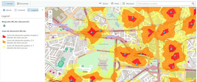
  • Spatial analysis: Data enrichment, custom phenomena & Business cases
  • Multiple basemaps: Google, OSM, government orthos
  • ️Print-ready map layouts & PDF export (optional)

IMPORTANT! - Before ordering, please message me with your target location or region. I'll confirm data availability and best structure.

Lerne Ben M kennen

Ben M

Senior GIS Analyst

5,0(19)
  • AusKenia
  • Mitglied seitMärz 2018
  • ⌀ Antwortzeit1 Stunde
  • Letzte Lieferung1 Jahr
  • Sprachen

    Englisch
This is Ben. I have expertise in many GIS applications: GIS mapping, Spatial Analysis, Geospatial Data Visualization, Location Intelligence, Geo Database Management, Digitization, and Georeferencing. I use ArcGIS Pro, ArcMap, ArcGIS Online, QGIS, ERDAS, ENVI, Google Earth Pro, etc. Remote Sensing Applications : Satellite Image Processing, DEM, Lidar, Land Use Classification, Temporal Data Analysis, Spectral Indices, etc. Get in touch to transform the spatial data and ideas into visual content. Thanks

Mein Portfolio