t
tuba_zafar05

Tuba Zafar

@tuba_zafar05

I will do GIS mapping, land cover classification and environmental spatial analy

Pakistan
Englisch
Einige Informationen werden in englischer Sprache angezeigt.
Über mich
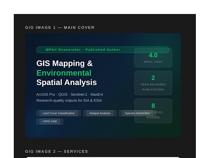
Environmental researcher & GIS specialist | MPhil Zoology (CGPA 4.00/4.00) | 2 peer-reviewed publications (First Author). I deliver research-quality GIS mapping, spatial analysis & environmental assessments — not generic templates. Specialized in: ArcGIS Pro, QGIS, Python (GDAL, GeoPandas), Sentinel-2, Landsat 8, VIIRS-DNB & MaxEnt species distribution modelling for EIA/ESIA projects. NASA ARSET certified. IFC PS6 trained. 8-site field survey experience. Fast delivery. Clear communication. Revisions until satisfied.... Mehr lesen

Kompetenzen

t
tuba_zafar05
Tuba Zafar
offline • 
Durchschnittliche Antwortzeit: 2 Stunden

Meine Dienstleistungen

Statistische Modellierung & Analyse
I will do gis mapping, environmental spatial analysis and land cover mapping

Arbeitserfahrung

Education

Environmental Researcher & GIS Analyst

Education • Vollzeit

Sep 2023 - Aug 20251 yr 11 mos

Designed and executed multi-site environmental assessments across 8 georeferenced field sites in Multan. Processed Sentinel-2, Landsat 8 and VIIRS-DNB satellite imagery for land cover classification and environmental baseline mapping. Performed hotspot analysis (Getis-Ord Gi*), MaxEnt species distribution modelling and spatial autocorrelation in ArcGIS Pro and Python. Authored 2 peer-reviewed publications as first author in an international journal.