Ich entwickle skalierbare Web-GIS-Apps mit Python und JavaScript

T
talhawaheed254
T
talhawaheed254
Talha W
Einige Informationen wurden automatisch übersetzt.

Über diesen Service

Automatische Übersetzung

Ich bin Talha Waheed, ein zertifizierter GIS- und Python-Entwickler mit über 3 Jahren Erfahrung in FastAPI, Mapbox, Leaflet, ArcGIS und QGIS. Ich erstelle schnelle, skalierbare GIS-Webapps und geospatiale Dashboards mit modernen Tools und Frameworks.

Services

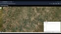
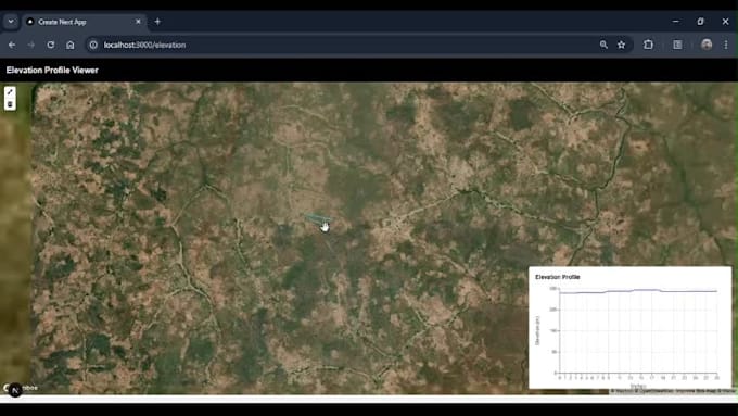
  • WebGIS-Apps mit Mapbox, Leaflet, Google Maps API
  • Geodaten-APIs mit FastAPI & PostGIS
  • Digitalisierung, Georeferenzierung, Satelliten- & Fernerkundungsintegration
  • räumliche Analysen, demografische Tools
  • Echtzeit-GIS-Datenpipelines mit Firebase, MongoDB, PostgreSQL

Technologien

Python, SQLAlchemy, Arcpy, Docker, Swagger, FastAPI

PostgreSQL/PostGIS, Firebase, MongoDB

ArcGIS Pro, QGIS, Google Earth Engine

Anwendungsfälle

Smart Cities, Umwelt, Standortintelligenz, Dashboards

Lieferumfang

Komplette Frontend/Backend-GIS-App, Dokumentation, Docker, einsatzbereit


Lass uns deine Bedürfnisse besprechen und deine skalierbare GIS-Webapp erstellen. Schreib mir noch heute!

Lerne Talha W kennen

Talha W

Python for geospatial, data, and API solutions

  • AusPakistan
  • Mitglied seitSept. 2022
  • ⌀ Antwortzeit1 Stunde
  • Sprachen

    Urdu, Hindi, Englisch
I’m a Geoinformatics Engineer with expertise in FastAPI, Python, GIS, and data science. I specialize in developing intelligent APIs, interactive dashboards, and satellite data processing tools. With a strong foundation in machine learning, cloud platforms, and visualization, I help turn raw data into actionable insights. Let’s build something impactful together!

Automatische Übersetzung