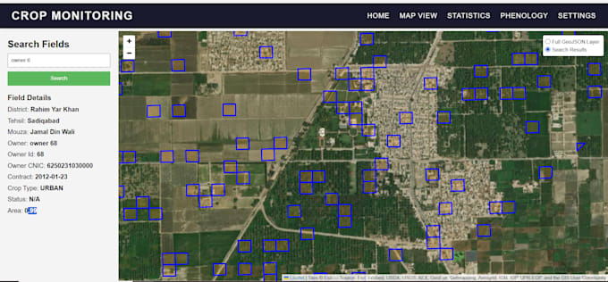
Ich werde Webgis, Webmapping und blattbasierte Dashboards erstellen

T
talhairshad122
T
talhairshad122
Talha
Einige Informationen wurden automatisch übersetzt.

Über diesen Service

Automatische Übersetzung

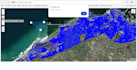
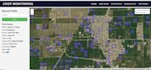
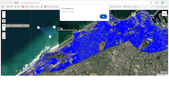
Ich entwickle interaktive, professionelle und benutzerfreundliche webGIS-Dashboards und Zoom to, um zu visualisieren


  • Punkte,
  • Linien
  • Polygone auf einer Karte.


Ich kann diese Karten nahtlos in Websites oder Dashboards einbetten, die auf


  • WordPress
  • Webflow
  • Shopify
  • individuell codierte Plattformen.


Tools und Technologien

  • Leaflet,
  • Mapbox,
  • OpenLayers
  • D3.js
  • Mapbox
  • Google Maps JavaScript API
  • Vanilla JavaScript
  • React
  • OSM
  • HTML5
  • Plotly
  • SVG

Lerne Talha kennen

Talha

WebGIS, Web Mapping ,GIS Development and Interactive Web Maps

5,0(1)
  • AusPakistan
  • Mitglied seitNov. 2021
  • Letzte Lieferung1 Jahr
  • Sprachen

    Englisch
Hi I'm Talha. I have 4 years of experience in WebGIS. Web Mapping and GIS dashboard Development. I will develop interactive, professional, and user-friendly web applications and dashboards using Mapbox, Leaflet, Openlayers Geoserver, ESRI's SDK, D3.js, Mapbox, Google Maps JavaScript API, vanilla JavaScript,React, OSM, HTML5, Plotly, SVG. I can enbed google maps, custom maps with custom data in your websites and dashboards. They can be enhanced with additional features such as user management and admin modules to handle data on the front end efficiently.

Automatische Übersetzung

Mein Portfolio