Kategorien durchsuchen
Deutsch
$
USD
Deine KI mit Fiverr verbinden

Level 2
Automatische Übersetzung
GIS Analyst and Web GIS Developer, ArcGIS Pro, QGIS, Leaflet, GeoAI
Level 2
Sprachen
Automatische Übersetzung
Automatische Übersetzung
Muss ich die Satellitenbilder bereitstellen?
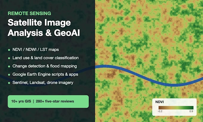
Nein. Standardmäßig verwende ich kostenlose Sentinel-, Landsat- und MODIS-Daten. Für sehr hohe Auflösung arbeite ich mit PlanetScope, Maxar oder deiner Drohnendaten.
Was muss ich Ihnen schicken?
Dein Interessegebiet (Shapefile, KML, Koordinaten oder Ortsname), die Daten oder der Zeitraum und die Frage, die du beantwortet bekommen möchtest.
Bekomme ich den Code?
Ja. Du bekommst das Google Earth Engine- oder Python-Skript, damit du die Analyse für neue Gebiete oder Daten erneut durchführen kannst.
Kannst du bei meiner Abschlussarbeit oder Forschungsprojekt helfen?
Ja. Ich führe die Analyse durch und erkläre die Methode verständlich, einschließlich der Genauigkeitsbewertung, sodass du sie in deiner Methodik beschreiben kannst.
