Einige Informationen werden in englischer Sprache angezeigt.
Über mich
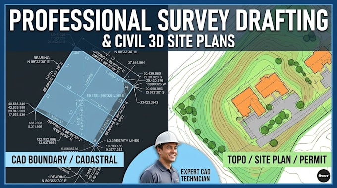
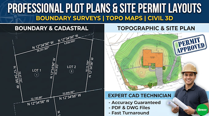
Expert CAD technician specializing in land survey drafting, civil 3d site plans, and topographic maps. I convert raw field data, GPS points, and legal descriptions into precise boundary surveys and plot plans for permits. Experienced in engineering standards, subdivision layouts, and cadastral mapping. Delivering accurate, layered DWG source files and print-ready PDFs for surveyors, developers, and homeowners. Fast turnaround and high precision. Send a message to start today!... Mehr lesen