Kategorien durchsuchen
Entdecken
Fiverr Pro
Deutsch
$
USD
Nayanika
@slsatprocess
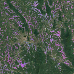
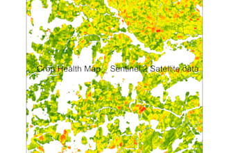
Remote Sensing GIS Expert
Sri Lanka
Englisch, Singhalesische Sprache
Über mich
With 10+ years in remote sensing and GIS, I create high-quality maps and 3D models using optical, SAR, thermal, hyperspectral, and LiDAR data. My expertise covers all remote sensing and GIS processing tasks, ensuring precise, innovative solutions.
Passionate about applying remote sensing in forestry, agriculture, urban planning, and water management, I also offer time series analysis and UAV/drone processing, including 3D models.
Proficient in Erdas Imagine, ENVI, ArcGIS, QGIS, Pix4D, and coding in Python, Java, GEE, R, and MATLAB.
Contact me for advanced geospatial solutions!
Nayanika
Kompetenzen
Nayanika
offline •
Durchschnittliche Antwortzeit: 19 Stunden
Meine Dienstleistungen

Geoinformationssysteme (GIS)
I will do remote sensing gis analysis with satellite data and embeddings data

Geoinformationssysteme (GIS)
I will do sar remote sensing data processing and analyzing
Portfolio
3 Bewertungen
| (3) | ||
| (0) | ||
| (0) | ||
| (0) | ||
| (0) |
Zusammensetzung der Bewertung
- Kommunikation
- Qualität der Lieferung
- Preis-Leistungs-Verhältnis der Lieferung
1–3 von 3 Bewertungen
Sortieren nach:
Am relevantesten

thunder04

Bangladesch
Kudos to the seller! I never expected Nayanika to deliver my project with such professionalism and clarity. She executed everything flawlessly and even provided thorough documentation on her own initiative. She went above and beyond my expectations, maintained excellent communication throughout the process,...
Antwort des Freelancers
Hilfreich?
baonguyen940

Australien
absolutely outstanding. great work comes with reasonable price. professional!
Antwort des Freelancers
Hilfreich?
iherreraval

Chile
Great work, delivered as promised and on time.
Antwort des Freelancers
Hilfreich?

