Einige Informationen werden in englischer Sprache angezeigt.
Über mich
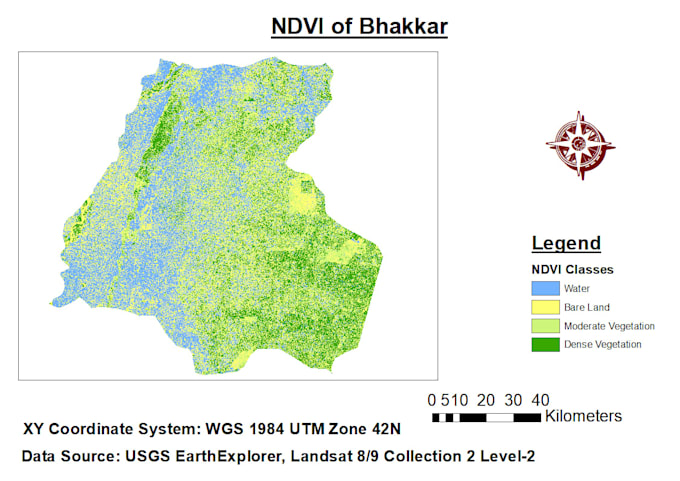
I am a GIS and Remote Sensing student with a strong interest in geospatial analysis, digital mapping, and satellite image processing. I have practical experience using ArcGIS and QGIS for creating professional maps, spatial data visualization, NDVI analysis, Land Use/Land Cover (LULC) mapping, digitization, and basic raster and vector data processing. I can work with satellite imagery and GIS datasets to produce clear, accurate, and well-organized outputs. I am detail-oriented, eager to learn, and committed to delivering quality work according to the client's requirements.... Mehr lesen