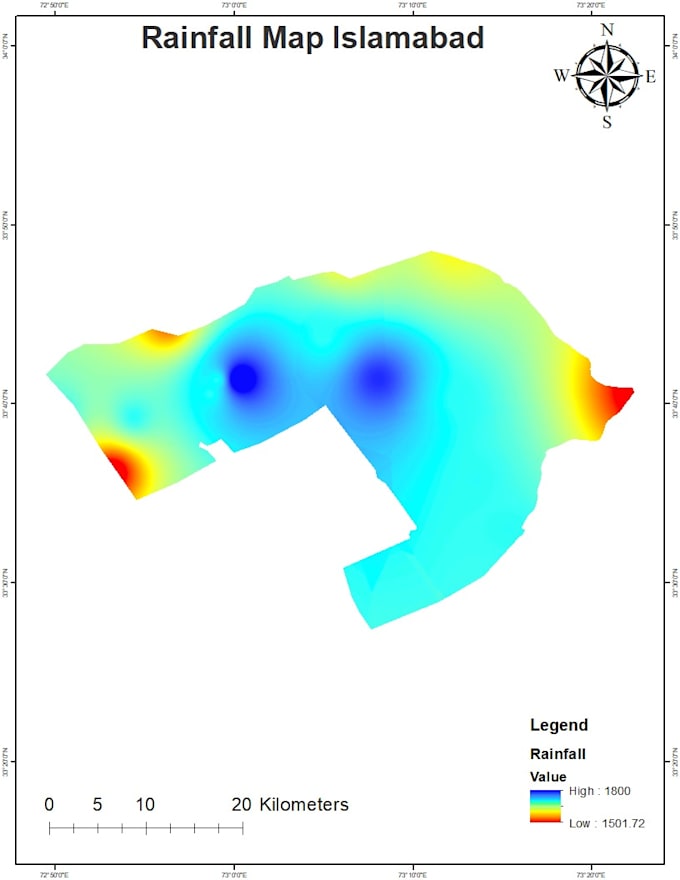
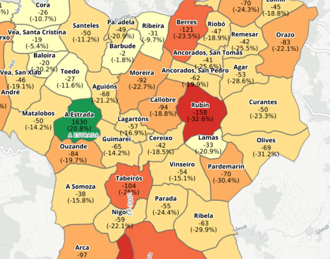
Ich werde räumliche Analysen und GIS-Mapping in ArcGIS Pro QGIS durchführen.

S
shaharyar_gis
S
shaharyar_gis
Shaharyar
Einige Informationen wurden automatisch übersetzt.

Über diesen Service

Automatische Übersetzung


Ich habe mehr als 3 Jahre industrielle und forschungsbezogene Erfahrung im Bereich Geographical Information System (GIS) und Remote Sensing (RS). Ich habe Erfahrung in der Erfassung und Erstellung geospatialer Daten, kartografischen Präsentationen/Karten, Analyse im Model Builder, Geodatabase-Design und -Verwaltung, Landnutzungs- und Zonenkarten, Netzwerkanalyse, räumlicher Analyse & Modellierung, statistischer Analyse, Geoprocessing, Bildverarbeitung und mehr. Zögere nicht, mich vor der Auftragserteilung zu kontaktieren, um spezifische Details zum Projekt und den Daten zu besprechen.

Lerne Shaharyar kennen

Shaharyar
  • AusPakistan
  • Mitglied seitOkt. 2025
  • Sprachen

    Englisch, Urdu, Paschtunische Sprache
I am a GIS expert with Five years experience having profound knowledge in spatial data, analysis and mapping. I specialized in custom cartography and working with Geographic based solutions and highly skilled at managing large-scale projects from the data gathering phase to completion of the project. I have hands on experience with working in ArcGIS, ENVI, Google Maps,Erdas Imagine, ArcGIS Pro, and QGIS, Google Earth, Google Earth Engine My services: • Spatial Analysis & Modeling • Topology and Network Analysis • Remote Sensing Data Acquisition and Processing • Land Use/Land Cover Analysis

Automatische Übersetzung