Kategorien durchsuchen
Deutsch
$
USD
Verbinde deine KI mit Fiverr

GIS And RS Expert
Kompetenzen
Meine Dienstleistungen

GIS Expert
Local Government Department of Punjab • Vollzeit
Dec 2025 - Present • 11 mos
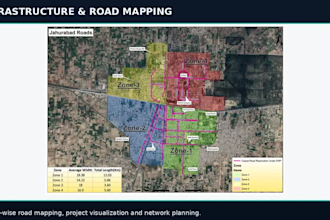
**GIS Expert | Local Government Department, Punjab, Pakistan** Currently working as a GIS Expert on the Punjab Development Program, a major Government of Punjab initiative focused on addressing sewerage and drainage challenges across Punjab. **Key Responsibilities and Achievements:** - Providing GIS-based solutions for sewerage and drainage infrastructure projects. - Preparing and managing GIS maps of sewerage networks and drainage systems. - Managing spatial datasets, conducting GIS analysis, and maintaining accurate geospatial information to support infrastructure planning and development. - Managing GIS dashboards to visualize project data, monitor progress, and support data-driven decision-making. - Supporting project teams by providing spatial analysis, thematic maps, and GIS-based insights for effective project implementation. - Contributing to improved infrastructure planning and monitoring through GIS mapping, spatial data management, and dashboard-based visualization.

GIS Analyst
NESPAK • Vollzeit
Mar 2022 - Nov 2025 • 3 yrs 8 mos
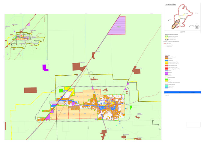
**GIS Analyst | NESPAK** Worked as a GIS Analyst at NESPAK, contributing to several large-scale development and infrastructure projects, including the Khyber Pakhtunkhwa Economic Corridor (KPEC), and various master planning projects for local government department Punjab. **Key Responsibilities and Achievements:** - Contributed to GIS mapping, spatial data management, and analysis for mega development projects. - Worked on master planning projects for local government departments. - Conducted field visits and supervised land-use surveys for the master planning of three districts in Khyber Pakhtunkhwa: Khyber, Orakzai, and Kurram. - Supported field data collection, survey coordination, and validation of spatial information for planning purposes. - Prepared and managed GIS datasets and maps to support urban planning and infrastructure development.
