s
sarahlsgi

Sarah Hasan

@sarahlsgi
1,7(1)
Pakistan
Englisch, Urdu
Einige Informationen werden in englischer Sprache angezeigt.
Über mich
I am GIS and remote sensing analyst with more than 5 years practical experience in the GIS & RS real ground applications. I have full confidence regarding any type of analysis/ project relate to GIS & Remote Sensing. I am looking forward to working with you. Services: - 
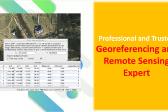
Georeferencing and Digitization Topographic Map Spatial Analysis LULC Mapping Prediction modelling using ANN Image Processing, analysis, and Mapping Image Classification Change Detection Conversion from one format to another (ASCII, vector,Kml, GeoJson, CAD etc.) Indices Please contact me before placing orders. ... Mehr lesen

Kompetenzen

s
sarahlsgi
Sarah Hasan
offline • 

Meine Dienstleistungen

Geoinformationssysteme (GIS)
I will do georeferencing and digitization in arcgis and qgis software
1,7(1)
Geoinformationssysteme (GIS)
I will do spatial analysis and mapping in arcgis pro qgis arcmap

1 Bewertungen
1,7

(0)
(0)
(0)
(1)
(0)
Zusammensetzung der Bewertung
  • Kommunikation
    2
  • Qualität der Lieferung
    1
  • Preis-Leistungs-Verhältnis der Lieferung
    2
1–1 von 1 Bewertungen
Sortieren nach:
Am relevantesten
    H

    harounankaziang

    US

    Vereinigte Staaten

    1,7

    I have already shared my concerns with the freelancer.

    Bis zu 50 $

    Preis

    5 Tagen

    Dauer

    gig

    Geoinformationssysteme (GIS)

    Hilfreich?
    Ja
    Nein