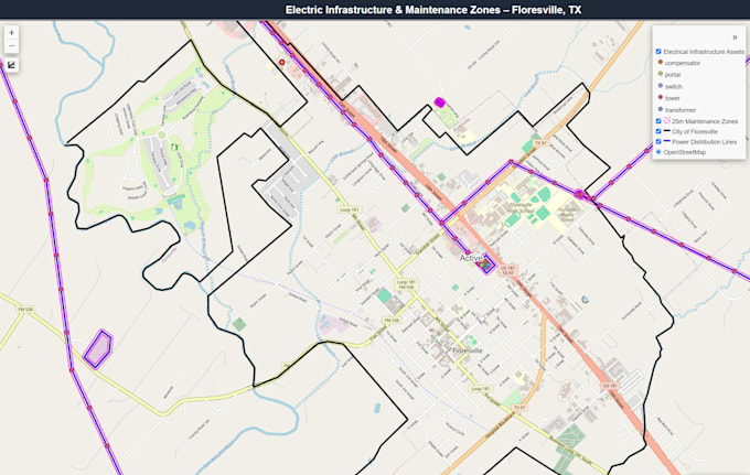
Ich werde professionelle GIS-Kartierung und räumliche Analyse bereitstellen

R
rudy_fasanogis
R
rudy_fasanogis
Rudy F
Einige Informationen wurden automatisch übersetzt.

Über diesen Service

Automatische Übersetzung

Ich biete professionelle GIS-Kartierung und Raumdatenanalyse mit QGIS, Python und anderen geospatialen Tools an. Ich kann individuelle Karten erstellen, Raumdaten analysieren, Daten bereinigen und verarbeiten sowie präzise, professionelle GIS-Produkte liefern, die auf deine Projektanforderungen zugeschnitten sind.

Lerne Rudy F kennen

Rudy F

GIS and Remote Sensing Specialist

  • AusVereinigte Staaten
  • Mitglied seitJuli 2026
  • Sprachen

    Englisch, Portugiesisch, Italienisch, Spanisch
I’m a GIS professional with 5+ years of experience in GIS, remote sensing, spatial analysis, and geospatial data. I work with ArcGIS Pro, QGIS, Python, EO and SAR imagery. My experience includes mapping, data analysis, automation, change and object detection, and natural disaster analysis, including wildfire, burn severity, and flood assessment. I’ll focus on understanding your needs and delivering accurate results that are practical and useful to you!

Automatische Übersetzung