r
raphaelmongare

Raphael M

@raphaelmongare

Geospatial Data Specialist, GIS, Remote Sensing, Cartography, Trainer

Kenia
Englisch, Suaheli
Einige Informationen werden in englischer Sprache angezeigt.
Über mich
Raphael is a Geospatial Data Scientist and GIS/Remote Sensing trainer with 6+ years of experience. Services: spatial analysis, cartography, heat/density maps, web maps, story maps, dashboards (ArcGIS Online, Tableau, Power BI, R Shiny), LULC, NDVI, change detection, MaxEnt and machine learning species distribution modeling, digitization, mobile data collection, and PowerPoint reporting. Tools: ArcGIS Pro, ArcMap, QGIS, Google Earth Engine, R, Survey123, ODK, KoboCollect, Collect Earth. Accurate, timely, tailored delivery and hands-on training. Message me to get started.... Mehr lesen

Kompetenzen

r
raphaelmongare
Raphael M
offline • 
Durchschnittliche Antwortzeit: 6 Stunden

Meine Dienstleistungen

Grafik & Design
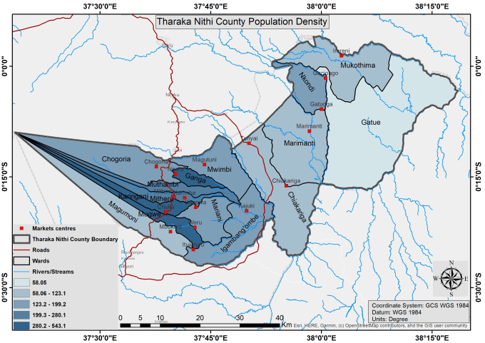
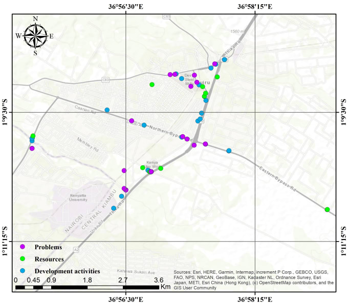
I will do cartography mapping and data visualization
Geoinformationssysteme (GIS)
I will do professional maps that meet your needs

Arbeitserfahrung

Your_Name as Your Email | Hover Realnames

Geospatial Researcher

Your Name as Your Email | Hover Realnames • Vollzeit

Jul 2020 - Present • 6 yrs 4 mos

Exceptional delivery in both scientific and technical tasks. I am a published author with several peer-reviewed articles in insect science and ecology.