Einige Informationen werden in englischer Sprache angezeigt.
Über mich
Welcome Here!
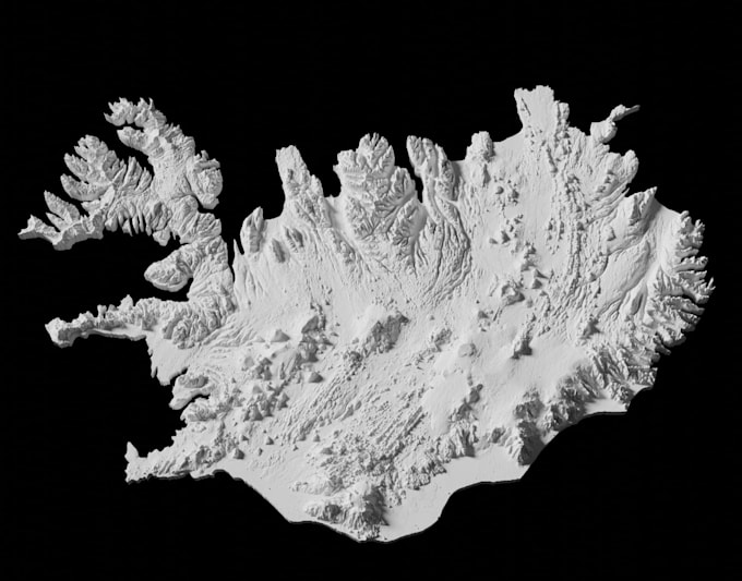
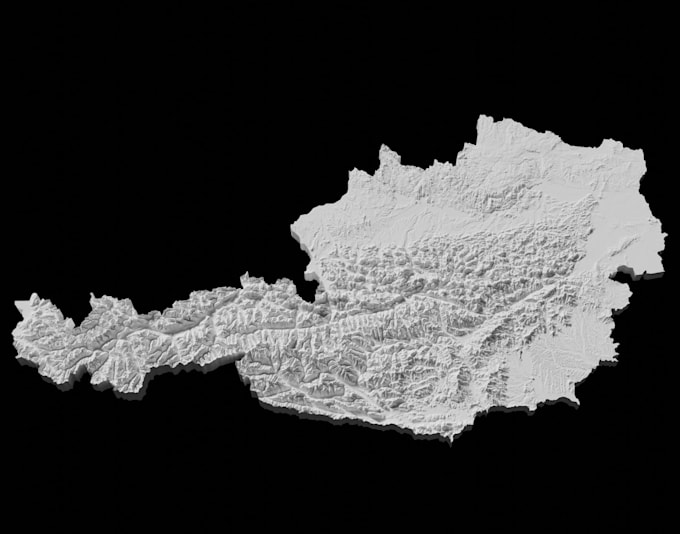
I am an Landscape Architect, 3D modeler and Visualization specialist focused on recreating real world sites, terrain, and existing buildings with accuracy details
I can convert survey points and coordinate data into detailed 3D terrain models, remodel existing buildings from map coordinates and reference information, and integrate 3D rendering into existing sites for realistic visualization.
Please contact me before placing an order so we can discuss your project requirements, available survey data, coordinates, maps, drawings, and desired level of detail.
... Mehr lesen