Einige Informationen werden in englischer Sprache angezeigt.
Über mich
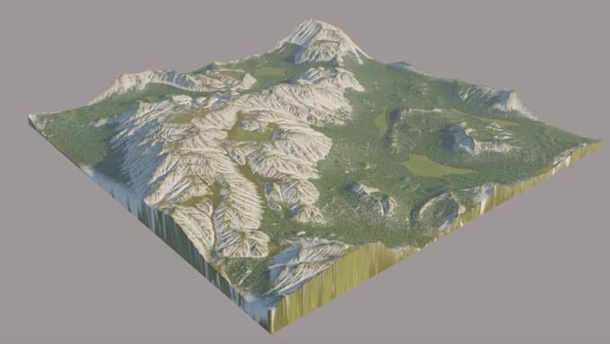
Hello, I’m an Architectural Designer and 3D Visualization Artist specializing in drone mapping, point cloud processing, LiDAR, GIS, survey data, terrain modeling, and CAD drafting.
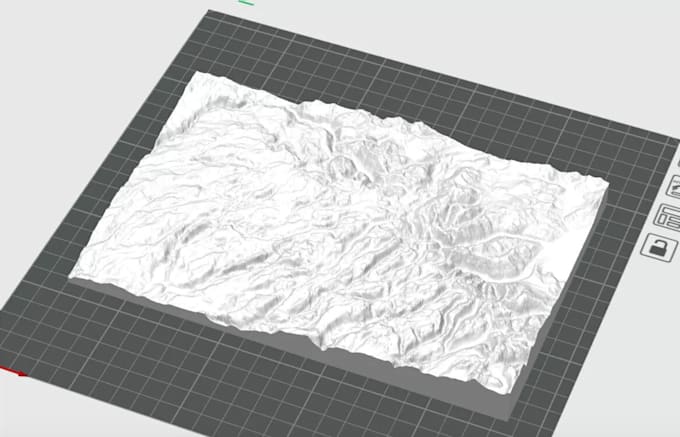
i am also specialize transform aerial imagery, laser scans, point clouds, and survey data into accurate and usable 2D drawings, 3D models, terrain surfaces, and digital site models.
I can work with a variety of data formats, including LAS, LAZ, E57, RCP, XYZ, DWG, DXF, DEM, DSM, DTM, OBJ, and STL, depending on your project requirements.... Mehr lesen