Kategorien durchsuchen
Entdecken
Fiverr Pro
Deutsch
$
USD


Automatische Übersetzung
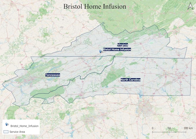
Suchst du professionelle GIS-Karten, kartografische Designs oder topografische Kartierungen? Ich bin ein GIS-Experte mit über 4 Jahren Erfahrung in Geoinformationssystemen, Fernerkundung und Raumplanung.
Meine Dienstleistungen umfassen:
Ich liefere präzise, optisch ansprechende und datenbasierte Karten für deine Projekte.
Gis Analyst, Gis Mapping, Cartographer
Sprachen
Automatische Übersetzung
Automatische Übersetzung
Was brauchen Sie, um mit der Arbeit an meinem Projekt zu beginnen?
Ich benötige Standortdetails, GIS-Daten (falls vorhanden), Projektanforderungen und bevorzugte Ausgabeformate.
Welche Dateiformate liefern Sie?
Ich stelle Karten in JPEG, PNG, PDF, KML, GeoJSON und Shapefiles bereit, je nach Bedarf.
Kannst du GIS-Daten für mein Projekt sammeln?
Ja! Ich kann relevante GIS-Daten beschaffen oder bestehende Datensätze verarbeiten, um deine Anforderungen zu erfüllen.