Kategorien durchsuchen
Entdecken
Fiverr Pro
Deutsch
$
USD


Are you looking for a professional, accurate, and visually appealing map for your project?
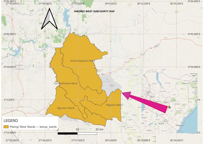
I specialize in GIS (Geographic Information Systems) and will design study area maps, thematic maps, land use maps, or any custom map of your choice using QGIS or ArcGIS.
With my academic background in Environmental Science and hands-on experience in GIS software, I can deliver maps suitable for:
What I Offer:
High-resolution professional maps (JPG, PNG, or PDF)
Customized legends, scale bars, coordinates, and labels
Study area delineation & thematic layers
Clear symbology and professional cartographic design
Editable GIS project files (QGIS/ArcGIS formats) on request
Why Choose Me?
High-resolution maps
Professional GIS layout
Accurate spatial data
Clean, publication-ready output
Bitte informiere den Freelancer über alle Präferenzen oder Bedenken in Bezug auf den Einsatz von KI-Tools bei der Ausführung und/oder Lieferung deines Auftrags.
Data Cleaning, AI Document Conversion and GIS Mapping Specialist
Sprachen
What do you need from me to get started?
I’ll need a clear description of your study area or project. If you have shapefiles, coordinates, or boundary details, please share them. If not, just provide the location name and purpose of the map, and I can source the base data.
Which software do you use?
I primarily use QGIS (latest version) and ArcGIS (10.x/Pro) to create professional-quality maps. Both are industry-standard GIS tools.
What types of maps can you deliver?
I can design: Study area maps -Land use/land cover maps -Thematic maps (e.g., population, vegetation, climate zones) -Spatial analysis maps (buffer, overlay, proximity) -Custom maps for academic research, reports, and presentations
In what formats will I receive the final map?
You can receive maps in high-resolution JPG, PNG, or PDF. If requested, I can also provide editable project files (QGIS/ArcGIS formats) for an extra fee.
How accurate will the maps be?
All maps are prepared using reliable geospatial datasets and verified boundaries. Accuracy depends on the quality of the data you provide, but I ensure professional cartographic standards.
Can you add custom labels, legends, and styling?
Yes! All maps include a legend, scale bar, north arrow, and labels. You can also request specific color schemes, fonts, or custom styling.
Can you use my coordinates or area of interest?
Yes, send your coordinates, shapefiles, or area description.
Are the maps publication ready?
Yes — all maps are clean, high-quality, and suitable for reports or academic work.