Einige Informationen werden in englischer Sprache angezeigt.
Über mich
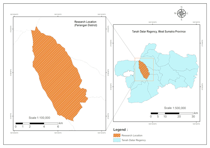
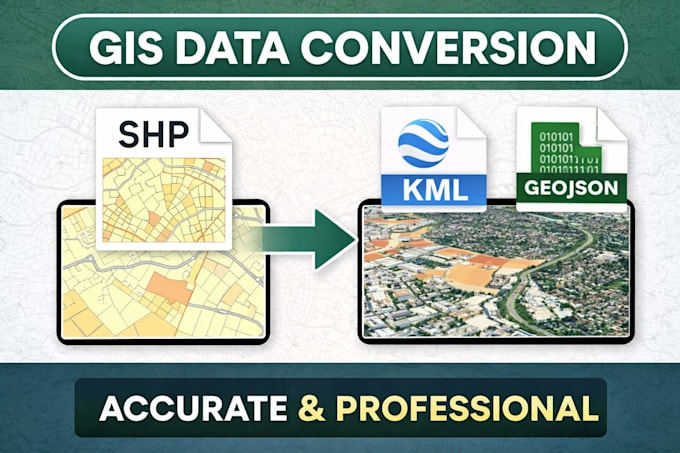
I transform complex location data into actionable spatial intelligence. Leveraging rigorous geospatial analysis and remote sensing, I provide high-precision mapping and site suitability modeling. My expertise bridges the gap between raw datasets and strategic insights, combining technical accuracy with visual clarity for urban planning, environmental research, and business logistics. I ensure every output maintains geodetic integrity and scientific validity. Let’s unlock the power of spatial dimensions to drive your future projects forward.... Mehr lesen