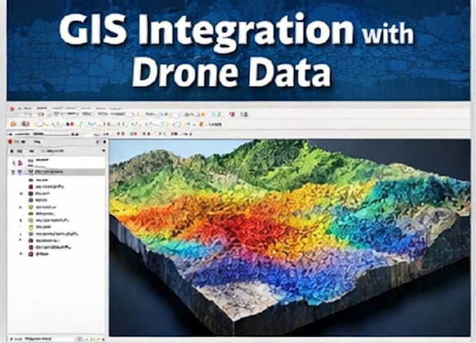
Ich werde Drohnenkartierung und Photogrammetrie durchführen

M
matarlafrougui
M
matarlafrougui
Matar L
Einige Informationen wurden automatisch übersetzt.

Über diesen Service

Automatische Übersetzung

Ich biete professionelle Drohnenkartierungs- und Photogrammetrieservices an, um genaue Orthomosaike, DEMs und 3D-Modelle aus Drohnenbildern zu erstellen.


Ich arbeite mit Pix4D und Agisoft Metashape, um Drohnendaten für Kartierung, Vermessung, Forstwirtschaft, Landwirtschaft und Umweltprojekte zu verarbeiten.


Enthaltene Services

  • Verarbeitung von Drohnen-Photogrammetrie
  • Erstellung von Orthomosaiken
  • DEM / DSM Erstellung
  • Punktwolken & Konturen
  • 3D-Modelle und Messungen
  • GIS-kompatible Ausgaben (GeoTIFF, LAS, SHP)

Ideal Für

  • Drohnenvermessungen
  • Bau- & Landvermessung
  • Forstwirtschaft & Landwirtschaft
  • Umweltüberwachung


Bitte kontaktiere mich vor der Bestellung, um die Datenqualität und den Projektumfang zu bestätigen.

Lerne Matar L kennen

Matar L

Forest Engineer : GIS, Cartography and Photogrammetry

  • AusMarokko
  • Mitglied seitJan. 2026
  • ⌀ Antwortzeit1 Stunde
  • Letzte Lieferung1 Monat
  • Sprachen

    Englisch, Französisch
I’m a Forest Engineer specialized in GIS, Cartography, and Geospatial Analysis, with strong experience in spatial data processing, mapping, and environmental analysis. What I do best: GIS analysis and cartography using QGIS & ArcGIS Spatial data visualization and mapping with Google Earth Object detection & analysis using YOLO for geospatial and drone data Photogrammetry & 3D mapping using Pix4D, Agisoft Metashape, and DJI Terra Processing drone imagery (orthomosaics, DEMs , point clouds) Forest, land-use, and environmental mapping projects

Automatische Übersetzung