m
matarlafrougui

Matar L

@matarlafrougui

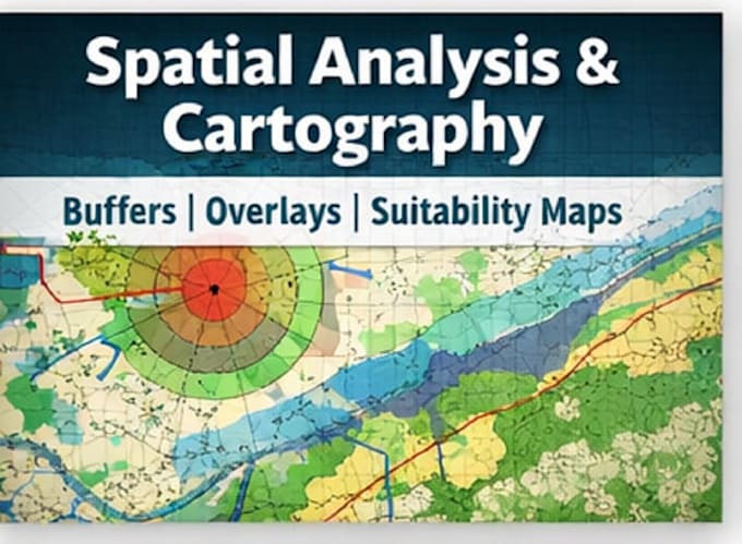
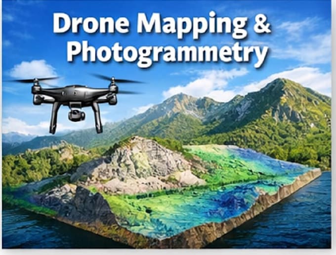
Forest Engineer : GIS, Cartography and Photogrammetry

Marokko
Englisch, Französisch
Einige Informationen werden in englischer Sprache angezeigt.
Über mich
I’m a Forest Engineer specialized in GIS, Cartography, and Geospatial Analysis, with strong experience in spatial data processing, mapping, and environmental analysis. What I do best: GIS analysis and cartography using QGIS & ArcGIS Spatial data visualization and mapping with Google Earth Object detection & analysis using YOLO for geospatial and drone data Photogrammetry & 3D mapping using Pix4D, Agisoft Metashape, and DJI Terra Processing drone imagery (orthomosaics, DEMs , point clouds) Forest, land-use, and environmental mapping projects... Mehr lesen

Kompetenzen

m
matarlafrougui
Matar L
offline • 
Durchschnittliche Antwortzeit: 1 Stunde

Meine Dienstleistungen

Geoinformationssysteme (GIS)
I will gis mapping, cartography and geospatial analysis
Geoinformationssysteme (GIS)
I will do drone mapping and photogrammetry

Arbeitserfahrung

FOREST MANAGEMENT ENGINEER

STATE • Vollzeit

Nov 2021 - Present4 yrs 6 mos

I’m a Forest Engineer specialized in Forest Management, GIS, Cartography, and Geospatial Analysis.