Einige Informationen werden in englischer Sprache angezeigt.
Über mich
I am a passionate GIS & Remote Sensing specialist with expertise in satellite image analysis, environmental mapping, and spatial data visualization. I help individuals, businesses, and researchers turn raw geospatial data into meaningful insights.
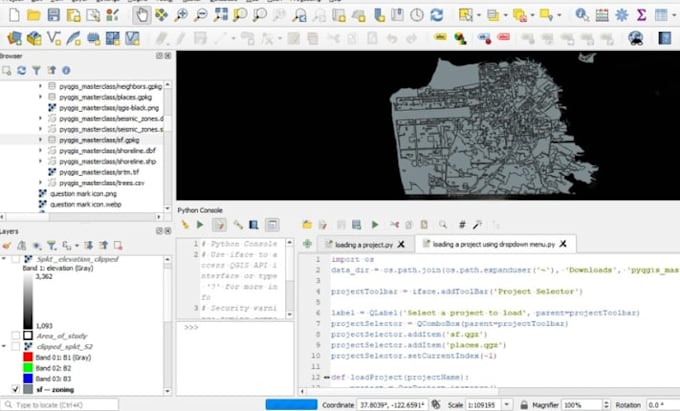
I am skilled in change detection, NDVI & vegetation monitoring, land cover classification, and interactive web mapping using powerful tools like QGIS, ArcGIS, Google Earth Engine, Python, and Leaflet.
If you need accurate maps, clear reports, or automated workflows that save you time, I’m here to deliver professional and reliable maps.... Mehr lesen
l
Lynne
offline •
Meine Dienstleistungen
Geoinformationssysteme (GIS)
I will perform gis analysis, ndvi, change detection, lulc mapping