k
khairil_musytaf

Khairil M

@khairil_musytaf

GIS Drone Mapping Freelancer

Indonesien
Englisch
Einige Informationen werden in englischer Sprache angezeigt.
Über mich
I am a freelance specialist in GIS and drone photogrammetry, experienced in processing UAV imagery into orthophoto, DSM/DTM, contour maps, and GIS-based spatial analysis. I deliver accurate, well-structured outputs ready for reports, planning, and presentations, with clear communication and on-time delivery.... Mehr lesen

Kompetenzen

k
khairil_musytaf
Khairil M
offline • 

Meine Dienstleistungen

Infografik-Design
I will do drone mapping, orthophoto, contour, and gis analysis

Arbeitserfahrung

Self_Paid In The Shade

GIS & Drone Mapping Specialist

Self Paid In The Shade • Freiberufler

Aug 2022 - Present3 yrs 9 mos

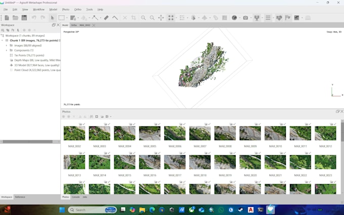
Processed UAV drone imagery into orthophoto, DSM/DTM, and contour maps. Performed GIS-based spatial analysis and thematic mapping using ArcGIS Pro. Delivered clean, accurate outputs ready for reports, planning, and presentations. Maintained clear communication and on-time delivery for each project.