Kategorien durchsuchen
Entdecken
Fiverr Pro
Deutsch
$
USD

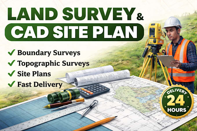
Accurate Land Survey and CAD Site Plan Specialist
Kompetenzen
Meine Dienstleistungen
Contractor
1 yr 5 mos
Survey CAD Designer & Land Mapping
Sep 2025 - Present • 8 mos
Provide land survey drafting and CAD mapping services for residential, commercial, and property development projects. Create site plans, boundary surveys, topography drawings, grading plans, and survey layouts using technical drafting standards and project specifications. Prepare organized CAD files, layout sheets, and detailed survey documentation to support planning, construction, permitting, and land development requirements. Work with contractors, engineers, property owners, and development teams to deliver clear drawings and mapping solutions with attention to detail and project accuracy. Manage project revisions, drawing updates, file preparation, and final delivery in CAD and PDF formats while maintaining quality standards and timely completion for every project.
Survey CAD Designer & Land Mapping
Aug 2025 - Present • 9 mos
Provide land survey drafting and CAD mapping services for residential, commercial, and property development projects. Create site plans, boundary surveys, topography drawings, grading plans, and survey layouts using technical drafting standards and project specifications. Prepare organized CAD files, layout sheets, and detailed survey documentation to support planning, construction, permitting, and land development requirements. Work with contractors, engineers, property owners, and development teams to deliver clear drawings and mapping solutions with attention to detail and project accuracy. Manage project revisions, drawing updates, file preparation, and final delivery in CAD and PDF formats while maintaining quality standards and timely completion for every project.
