Einige Informationen werden in englischer Sprache angezeigt.
Über mich
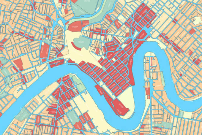
I have done my Bachelors in Remote Sensing & GIS.I have an appreciable command over GIS & RS tools. I can perform spatial data analysis & vector data analysis. i am proficient in using
ArcGIS.
ArcGIS online.
ERDAS.
ENVI.
QGIS.
PostgreSQL.
PostGIS.
Google Earth.
Google Earth Engine for Geo-Spatial Data.
Moreover, I can help you with MS Excel Projects.... Mehr lesen