CAD Drafter Surveyor,Geospatial Developer Analyst, Data Entry Services
Vereinigte Staaten
Englisch, Französisch, Spanisch
Einige Informationen werden in englischer Sprache angezeigt.
Über mich
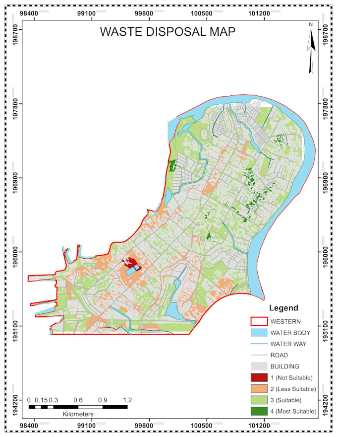
Hello, my name is John. I'm a Professional Geographer with over 9 years of experience in GIS and Spatial Data Analysis. I specialize in creating detailed drawings and plans using Autodesk Civil3D, as well as spatial data management with tools like ArcGIS, QGIS, and Google Earth Engine. I offer comprehensive services for engineering, surveying, and construction, including perimeter and topographical maps and advanced terrain analysis.
... Mehr lesen