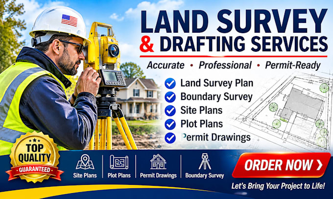
Professional Land Surveyor, Boundary, Topographic and Construction Staking
Vereinigte Staaten
Englisch
Einige Informationen werden in englischer Sprache angezeigt.
Über mich
Licensed Professional Land Surveyor (PLS) with extensive experience delivering high-precision geospatial data and boundary determinations. Specializing in property boundary analysis, topographic mapping, construction staking, and ALTA/NSPS Land Title Surveys. Proven track record of translating complex legal descriptions and field data into accurate maps and plans that mitigate project risk. Trusted partner for developers, engineers, and legal professionals.... Mehr lesen