I will make graphics design for marketing materials

J
jahid_tushar
J
jahid_tushar
Jahidul I
Einige Informationen werden in englischer Sprache angezeigt.

Über diesen Service

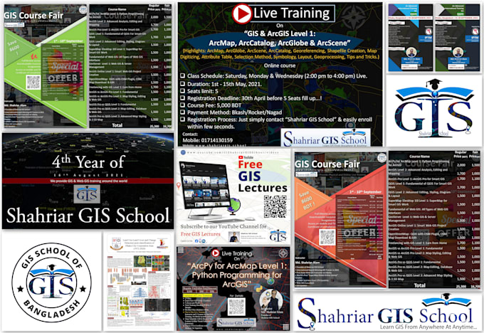
I will design a logo, poster, banner, and other material for social networking sites, research, or even another purpose in accordance with the terms. Working at Online GIS School helps me much in producing Graphical Marketing content that is appealing to learners or site visitors.

https://dribbble.com/jahidtushar448

Academic conferences include posters. Posters provide research to spark conversation. Text, charts, graphs, and images comprise the poster. The researcher stands beside his poster as conference attendees talk to him. I'll assist in making your poster presentation since I've attended national conferences.


What kinds of services can I provide for you?

  • Geocoding service
  • Geoprocessing service ( Merge, Buffer, overlay, Intersect, Dissolve, Union, Erase)
  • Image service (Download, Analysis)
  • Map service (Interactive, Simple)
  • Topographic Production (Map, layout, Digitize, Georeferencing)
  • Validation (Accuracy assessment)
  • Network Analysis
  • Date format Conversion (pdf to jpeg, raster to vector, kml to shap etc)
  • Documentation, SOP, Chart, Diagram
  • Advanced GIS Analysis ( Image Classification, NDVI, NDWI, Road Network Analysis, Watershed Delineation, Suitable Site Selection etc)
Bevorzugte Lieferart

Bitte informiere den Freelancer über alle Präferenzen oder Bedenken in Bezug auf den Einsatz von KI-Tools bei der Ausführung und/oder Lieferung deines Auftrags.

Lerne Jahidul I kennen

Jahidul I

Expert in GIS, Remote Sensing, Research, and Design Solutions

4,2(2)
  • AusBangladesch
  • Mitglied seitMai 2020
  • ⌀ Antwortzeit1 Stunde
  • Letzte Lieferung10 Monate
  • Sprachen

    Bengalisch, Englisch, Hindi
Hi, I’m Mohammad Jahidul Islam Tushar, a GIS and Remote Sensing specialist with 5+ years of experience in crafting impactful maps and spatial analyses. I’ve worked with top organizations, turning complex data into clear, actionable insights. Whether it’s custom GIS mapping, data quality assurance, or remote sensing solutions, I bring precision and expertise to every project. Let’s work together to visualize your data and make smarter decisions!