The program has substantial editing, geoprocessing, and thematic mapping capabilities in addition to a few well-selected, advanced GIS analytical methods. Furthermore, you are free to contact me about any of your research project. I will strive to exceed your expectations.
What kinds of services can I provide for you?
- Geocoding service
- Geoprocessing service ( Merge, Buffer, overlay, Intersect, Dissolve, Union, Erase)
- Image service (Download, Analysis)
- Map service (Interactive, Simple)
- Topographic Production (Map, layout, Digitize, Georeferencing)
- Validation (Accuracy assessment)
- Network Analysis
- Date format Conversion (pdf to jpeg, raster to vector, kml to shap etc)
- Documentation, SOP, Chart, Diagram
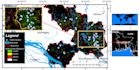
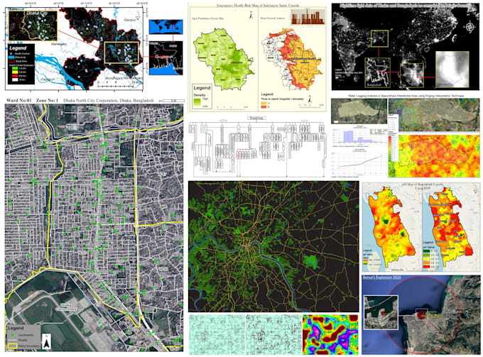
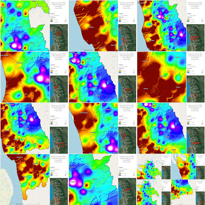
- Advanced GIS Analysis ( Image Classification, NDVI, NDWI, Road Network Analysis, Watershed Delineation, Suitable Site Selection, Flood Hazard Mapping, Methodology Development, Model Builder etc...that based on the demand of your project and datasets)