Kategorien durchsuchen
Entdecken
Fiverr Pro
Deutsch
$
USD
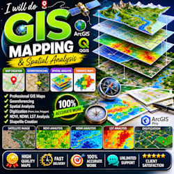
I will do GIS mapping, NDVI LULC analysis, shapefile and buffer analysis
Kompetenzen
Meine Dienstleistungen

will do NDVI NDWI LST LULC analysis and GIS mapping using ArcGIS and QGIS, buffer ,KML , Shape file
Freelancer.com • Teilzeit
Apr 2026 - Present • 3 mos
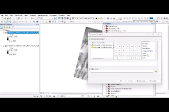
GIS & Remote Sensing Analyst (Freelance) Self-Employed | 2024 – Present (2 Years Experience) NDVI analysis for vegetation health monitoring and environmental assessment NDWI mapping for water body detection and hydrological studies LST (Land Surface Temperature) analysis using Landsat and Sentinel satellite data LULC (Land Use Land Cover) classification and change detection using GIS techniques Spatial data processing, geoprocessing, and advanced GIS analysis Shapefile creation, editing, and spatial database management Buffer analysis, proximity analysis, and spatial modeling in ArcGIS/QGIS Google Earth Pro and ArcGIS use for mapping, visualization, and project reports Handling academic and freelance GIS projects with data accuracy and visualization focus
