Kategorien durchsuchen
Entdecken
Fiverr Pro
Deutsch
$
USD


Automatische Übersetzung
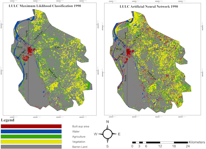
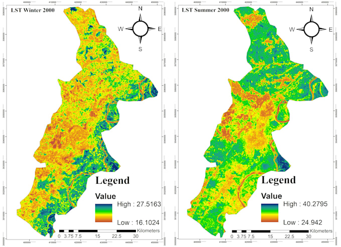
Ich biete professionelle GIS- und Fernerkundungsdienste mit ArcGIS und QGIS an. Ich kann GIS-Karten erstellen und LULC, NDVI, LST, Shannon-Index, CA Markov, räumliche und Satellitenbildanalysen durchführen. Ich liefere genaue, klare und forschungsbereite Ergebnisse für Umweltstudien, Stadtplanung, akademische Forschung und GIS-Projekte.
GIS, Remote Sensing , LULC, NDVI, LST ArcGIS
Sprachen
Automatische Übersetzung
Automatische Übersetzung
Welche GIS- und Fernerkundungsdienste bietest du an?
Ich biete GIS-Kartierung, LULC, NDVI, LST, Shannon-Index, CA Markov und Satellitenbildanalysen an
Welche Software verwenden Sie?
Ich verwende hauptsächlich ArcGIS und QGIS für GIS-Kartierung, räumliche Analysen und Fernerkundungsprojekte.
Kannst du meine Satellitenbilder analysieren?
Ja, ich kann mit Landsat- und Sentinel-Satellitendaten für verschiedene GIS- und Fernerkundungsanalysen arbeiten.
Kannst du LULC-Klassifikationen durchführen?
Ja, ich kann LULC-Klassifikationen durchführen und Karten sowie statistische Ergebnisse entsprechend deinen Anforderungen erstellen.
Kannst du CA Markov und Shannon-Index-Analysen durchführen?
Ja, ich kann CA Markov-Vorhersagen und Shannon-Index-Analysen für Landnutzung und Stadtwachstum durchführen.