Einige Informationen werden in englischer Sprache angezeigt.
Über mich
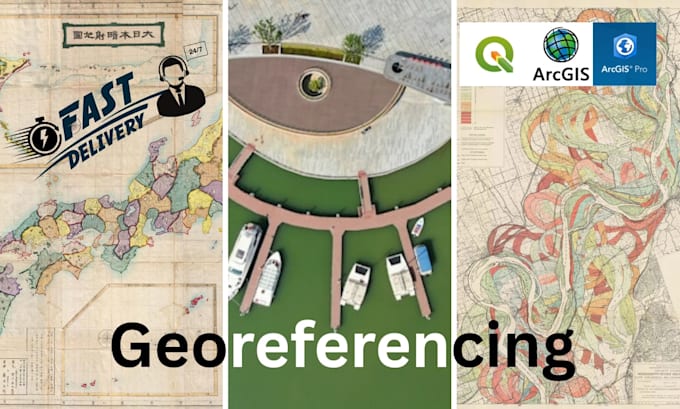
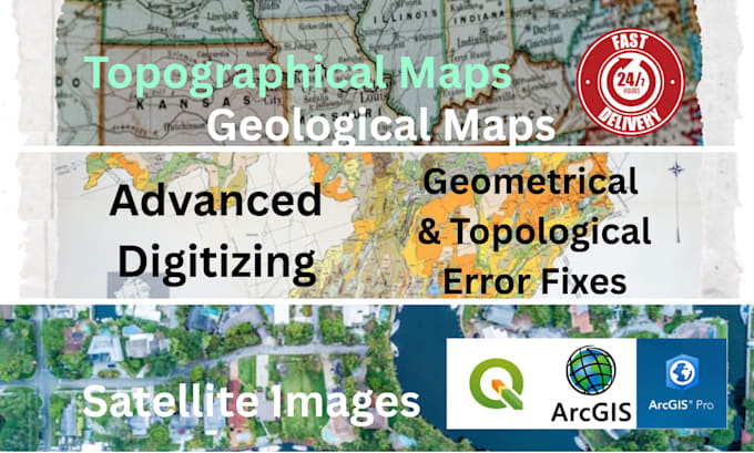
As a Geospatial Data Analyst with a 7-year background in Survey Engineering, I offer end-to-end GIS expertise. Using QGIS and Google Earth Engine, I deliver precise georeferencing, flawless digitizing, insightful thematic mapping, and detailed terrain analysis. I am dedicated to transforming raw spatial data into accurate, professional-grade outputs that support your project's critical objectives.... Mehr lesen