Kategorien durchsuchen
Deutsch
$
USD
Deine KI mit Fiverr verbinden
Automatische Übersetzung
Ich bin Geomatik- und Vermessungsspezialist. Mit QGIS erstelle ich hochwertige Karten, digitalisiere deine Pläne und verarbeite deine Drohnenbilder zu Orthophotos und 3D-Modellen.
Was ich für dich tun kann:
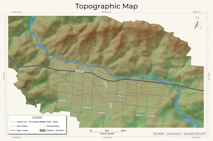
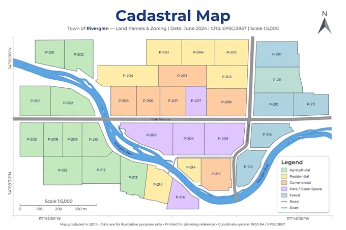
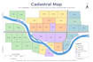
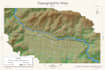
- Professionelle QGIS-Karten (Topografie, Liegenschaftskarte, thematisch)
- Digitalisierung von Plänen, Parzellen und Straßen
- Drohnenbildverarbeitung: Orthophoto, 3D-Modell, DEM
- Raumanalysen und Attributtabellen
- druckfertige Karten als PDF, PNG und JPG
Was ich von dir brauche:
- Deine Daten (Shapefile, GeoJSON, GPS-Punkte, Drohnenfotos oder gescannter Plan)
- Das Gebiet und den Zweck der Karte
Lieferung in 3 Tagen, inklusive Quelldateien.
Kontaktiere mich vor der Bestellung, falls du eine spezielle Anforderung hast.
Geomatics GIS Specialist
Sprachen
Automatische Übersetzung