Einige Informationen werden in englischer Sprache angezeigt.
Über mich
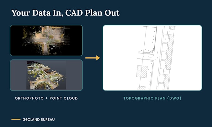
Geoland Bureau is a team of CAD engineers specializing in survey data. We turn point clouds (LiDAR, laser scans, drone data) into accurate CAD drawings, topographic plans, and terrain models.
Services: point cloud to CAD (RCP, E57, LAS), topographic plans and contours, DTM/DGM modeling, 2D drawings in AutoCAD and Civil 3D.
Clean files, clear communication, on-time delivery. Message us before ordering to confirm scope and timeline.... Mehr lesen