Kategorien durchsuchen
Deutsch
$
USD
Deine KI mit Fiverr verbinden

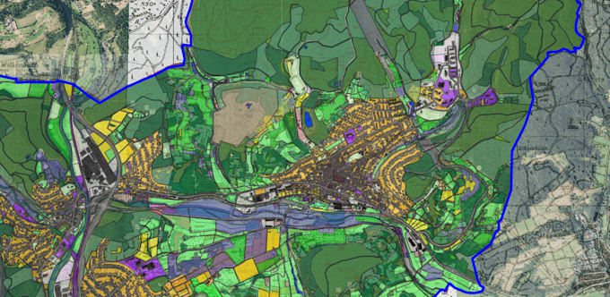
Professional GIS Mapping & Geospatial Data Processing with QGIS
Are you looking for a professional GIS map for your project?
I am an Environmental Scientist (B.Sc.) and freelance Environmental Planner with practical experience in QGIS, geospatial data processing and cartography.
My services include:
Choose the right package:
Basic: One professional map using your existing GIS data.
Standard: One detailed map including data editing and limited digitization.
Premium: One advanced map including more extensive data processing, digitization and spatial analysis.
Each package includes one GIS map. The complexity and amount of work depend on your selected package.
Please contact me before ordering to discuss your project requirements.
Environmental Planner GIS Specialist
Sprachen
