Satellite Imagery Analyst and Geospatial Web Developer
Pakistan
Englisch
Einige Informationen werden in englischer Sprache angezeigt.
Über mich
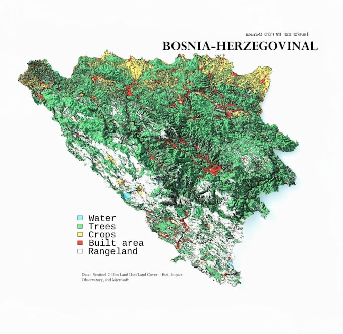
I'm a GIS & Remote Sensing Expert with hands-on experience in spatial analysis, satellite image processing, and map creation.
🛠️ I've worked on real-world projects involving high impact land cover classification, large scale change detection, 3D terrain modeling, and fully interactive web GIS dashboards. My work has supported environmental monitoring, disaster response, infrastructure planning, and more transforming raw satellite data into decision ready geospatial intelligence.
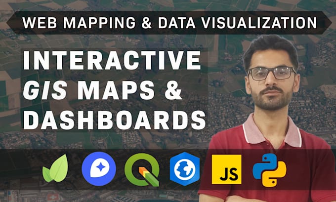
📊 I use industry standard tools, along with AI/ML and data science techniques to deliver perfect solutions ... Mehr lesen