Ich werde GIS-Analyse, Kartierung, Satelliten- und Raumdatenverarbeitung in QGIS, Python durchführen

D
dhruvdeori999
D
dhruvdeori999
Dhruba D
Einige Informationen wurden automatisch übersetzt.

Über diesen Service

Automatische Übersetzung

<p suchst du nach zuverlässiger, genauer GIS-Analyse oder Fernerkundungsarbeit? Du bist hier richtig.

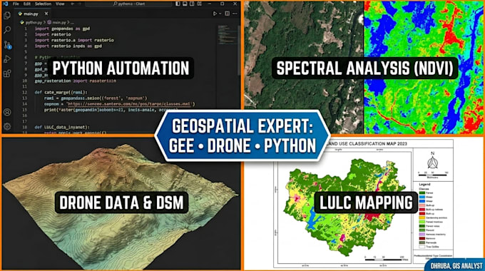
Ich bin ein Geoinformatik-Master-Absolvent mit praktischer Erfahrung in der Verarbeitung räumlicher Daten, GIS-Tools, Satellitenbildanalyse und GIS-Automatisierung mit Python und Google Earth Engine.


Was ich für dich tun kann:

GIS-Analyse

  • Kartendigitalisierung (Raster zu Vektor, Shapefile-Erstellung)
  • Räumliche Abfragen, Puffer, Zuschneiden, Zusammenführen, Reprojektion
  • Professionelles QGIS / ArcGIS Kartenlayout und exportbereit für Berichte und Veröffentlichungen

Fernerkundung

  • NDVI, SAVI, EVI Vegetationsgesundheitsanalyse
  • LULC (Landnutzung und Landbedeckung) Klassifikation
  • Sentinel-2 und Landsat Bildverarbeitung
  • Hochwasseranalyse

Google Earth Engine (GEE)

  • Zeitreihenanalyse
  • Walddeckung und Veränderungsdetektion

Python GIS Automatisierung

  • geopandas, rasterio, shapely Skripte
  • Batch-Verarbeitung räumlicher Daten
  • Maßgeschneiderte Analyse-Pipelines

Drohnendatenverarbeitung

  • Orthomosaik- und DSM/DTM-Erstellung
  • Analyse von Drohnenbildern zur Standortbewertung (Solar, Landwirtschaft, Forstwirtschaft)
  • Punktwolkenverarbeitung und Geländeerstellung
  • Integration von Drohne und GIS für Feldvalidierung und Ground Truth

 Kontaktiere mich vor der Bestellung

Lerne Dhruba D kennen

Dhruba D

GIS AND REMOTE SENSING EXPERT

  • AusIndien
  • Mitglied seitMärz 2019
  • Sprachen

    Englisch, Hindi, Assamesisch
I'm a Geoinformatics M.Tech specializing in GIS analysis, remote sensing, and spatial data automation. I've worked on real projects — solar site mapping with drone data, LULC classification using Sentinel-2 and Landsat, NDVI vegetation analysis, and carbon project screening for forest areas. My toolkit: QGIS · ArcGIS · Python (geopandas, rasterio, scikit-learn) · Google Earth Engine · Sentinel-2 · Landsat I deliver clean shapefiles, analysis reports, GeoTIFFs, and Python scripts — on time, with clear communication. Available for quick turnaround tasks. Message me before ordering.

Automatische Übersetzung