Kategorien durchsuchen
Entdecken
Fiverr Pro
Deutsch
$
USD
Experte für hydrographische Vermessung, Meeresdatenanalyst, GIS- und Bathymetrie-Spezialist
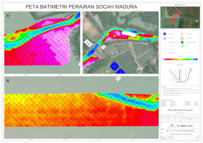
Brauchst du professionelle Verarbeitung deiner Meeresuntersuchungsdaten? Ich bin ein erfahrener Hydrographischer Vermesser, spezialisiert auf QA/QC, Verarbeitung und Visualisierung von bathymetrischen Daten. Ich verwandle deine Rohdaten von SBES und MBES in saubere, standardkonforme Ausgaben (IHO S-44).
Was ich anbiete:
Perfekt für Hafenplanung, Dredging-Planung und Unterstützung beim Meeresbau. Kontaktiere mich, bevor du eine Bestellung aufgibst, um deine Daten zu besprechen!


Sprache:
Chinesisch (Vereinfacht)
•
Englisch
•
Indonesisch
•
Malaiisch
Technische Expertise:
Andere
Expertise:
Datenpipelines
•
Datenintegration
•
Datenmodellierung
Industrie:
Datenanalyse
Automatische Übersetzung
Welche Formate akzeptierst du für bathymetrische Daten?
Ich akzeptiere die gängigsten Formate wie XYZ, CSV, TXT, DXF, SHP und Rohdaten von MBES- oder SBES-Systemen. Wenn du ein spezielles Format hast, schreib mir bitte zuerst.
Welche Software verwendest du für die Verarbeitung und Kartenerstellung?
Ich nutze branchenübliche Software wie HYPACK, Qimera, CARIS, EIVA und AutoCAD für professionelle Kartenlayouts.
Wie schnell kannst du die fertige Arbeit liefern?
Lieferzeiten variieren je nach Paket – zwischen 1 und 3 Tagen. Wenn du eine dringende Lieferung brauchst, kontaktiere mich bitte vor der Bestellung.
Kannst du individuelle Karten mit bestimmten Konturen oder Tiefenintervallen erstellen?
Ja, ich passe Konturintervalle und Kartendetails an deine Projektanforderungen an. Gib mir einfach deine Spezifikationen.
Bieten Sie Überarbeitungen an, wenn ich nicht zufrieden bin?
Ja, ich biete Überarbeitungen entsprechend dem gewählten Paket an, um sicherzustellen, dass du mit den Ergebnissen vollständig zufrieden bist.