Kategorien durchsuchen
Deutsch
$
USD
Deine KI mit Fiverr verbinden

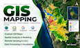
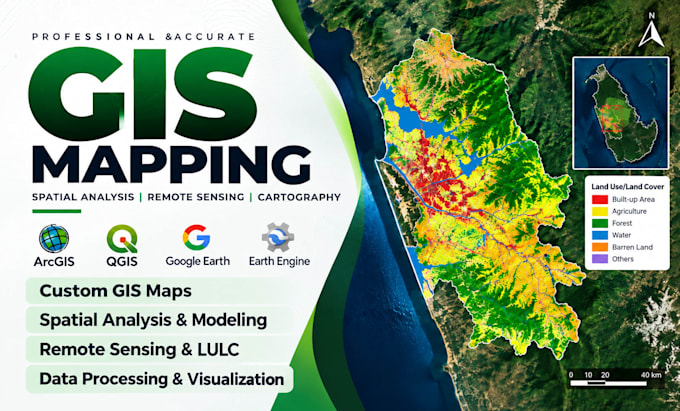
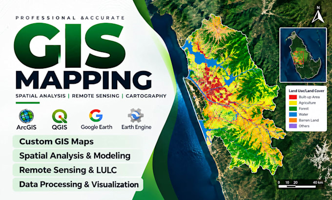
Need professional GIS maps and spatial analysis that deliver real insights?
I transform location data into clear maps and actionable results using QGIS and ArcGIS for planning, research, business and environmental projects.
Maps are tailored to your needs, audience and outputs.
MY GIS SERVICES
WHAT YOU WILL RECEIVE
WHY CHOOSE ME?
Ready to make your geospatial data useful? Message me your project details for the right package or a custom offer. Let's map your ideas into results!
GIS ANALYST AND WEBGIS DEVELOPER
Sprachen
What GIS services do you offer?
I provide GIS mapping, spatial analysis, georeferencing, digitization, data processing, remote sensing, cartography and related geospatial solutions using QGIS and ArcGIS.
Can you work with both QGIS and ArcGIS?
Yes. I work with QGIS and ArcGIS, including ArcGIS Pro, and can prepare outputs in common GIS formats depending on your project requirements.
Can you create professional maps for research, business or planning?
Absolutely. I create thematic, topographic, land use, environmental and other custom maps tailored to your objectives, data and intended audience.
Do you provide remote sensing and satellite image analysis?
Yes. I offer satellite imagery processing, land use/land cover classification, raster analysis and terrain mapping. The methods and outputs depend on your project scope.
What if I don't have GIS data for my project?
I can help identify and prepare suitable publicly available geospatial datasets. Data availability, quality and any paid-data requirements will be discussed before the order.
What file formats will I receive?
Depending on your package, deliverables may include PDF, PNG, SHP, GeoJSON, KML, GeoPackage and editable GIS project files.
How do you ensure the quality of your GIS work?
I review coordinate systems, data consistency, processing outputs and map presentation. I also check results against the project's requirements and available reference data.
Can you create interactive WebGIS maps?
Yes. I offer custom WebGIS solutions for suitable projects. Please contact me to discuss the features, data, hosting requirements and pricing.
Can I request revisions after delivery?
Yes. Each package includes revisions for adjustments within the original agreed scope. Additional features or major changes may require a custom offer.
Should I contact you before placing an order?
Yes, especially for complex projects. Share your objectives, study area, available data, expected outputs and deadline so I can recommend the appropriate package.