Einige Informationen werden in englischer Sprache angezeigt.
Über mich
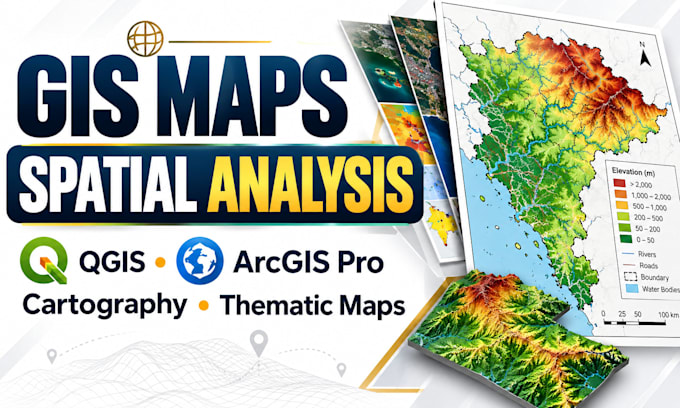
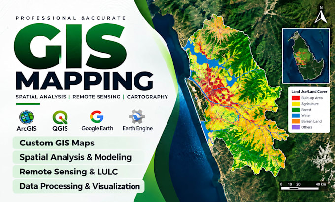
I turn location data into accurate maps and useful insights. As a GIS Mapping & Spatial Analysis Specialist, I use QGIS, ArcGIS Pro and AutoCAD for cartography, remote sensing and GIS solutions.
My services include thematic maps, land use/land cover mapping, digitizing, georeferencing, DEM and terrain analysis, GIS data conversion and interactive web maps.
I focus on correct coordinate systems, clean map layouts and organized deliverables.
Whether you're a researcher, engineer, planner or business owner, I listen to your needs and provide clear, reliable results tailored to your project.... Mehr lesen