Hey there!
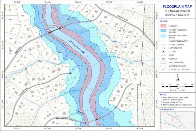
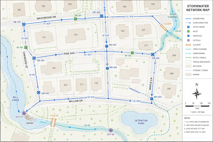
Do you need professional GIS maps for floodplain, pipeline, stormwater, or drainage projects? You're in the right place!
I provide accurate GIS mapping tailored to your project requirements. I transform spatial data into clear, presentation-ready maps.
What can I do?
- Floodplain and flood-risk mapping
- Pipeline and utility mapping
- Stormwater and drainage network mapping
- Catchment and watershed mapping
- GIS layer organization and styling
- Spatial overlays and data visualization
- Professional map layouts and exports
- Custom mapping for your project requirements
Why choose me?
- Detail-oriented professional GIS mapping
- Clean, organized, easy-to-understand maps
- Accurate labels, legends, symbology, and layouts
- Clean, precise, well-organized maps
- Careful attention to your data
How it works:
- Send your project details and GIS/CAD/data files or any files you have
- Tell me your required layers and output format
- I review the requirements and confirm the scope
- I create your GIS map
Please message me before placing an order so I


_uiytzr.jpg)