Einige Informationen werden in englischer Sprache angezeigt.
Über mich
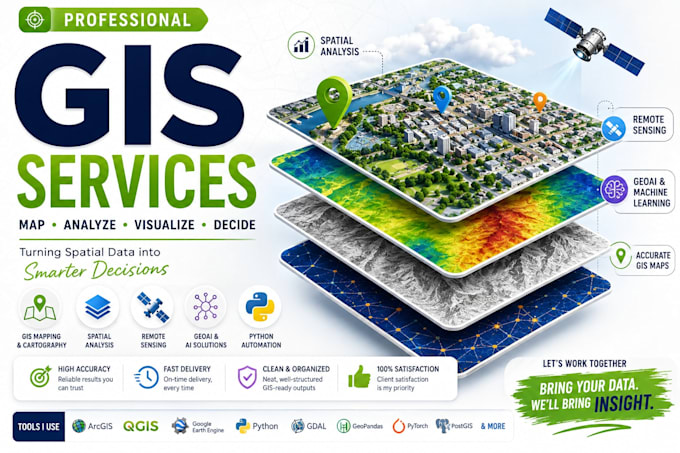
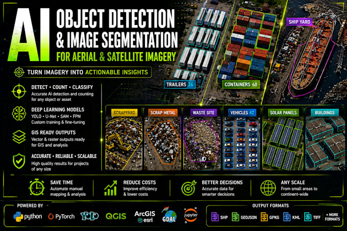
I’m a GIS & GeoAI specialist with 8+ years of experience in Remote Sensing, Python, Satellite & Drone Imagery, and Computer Vision. I help businesses with GIS analysis, spatial data processing, mapping, AI feature extraction, semantic segmentation, object detection, and geospatial automation. I work with ArcGIS, QGIS, Google Earth Engine, Python, PyTorch, GeoPandas, Rasterio and GDAL to deliver accurate, practical and GIS-ready solutions.... Mehr lesen