Einige Informationen werden in englischer Sprache angezeigt.
Über mich
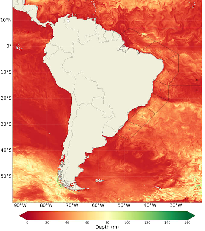
I work with spatial analysis, geoprocessing, and geospatial data visualization using QGIS, ArcGIS, and Python. I develop thematic maps, process satellite imagery, and perform spatial modeling for environmental, oceanographic, and territorial projects.... Mehr lesen