Einige Informationen werden in englischer Sprache angezeigt.
Über mich
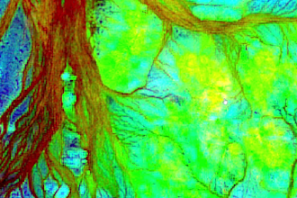
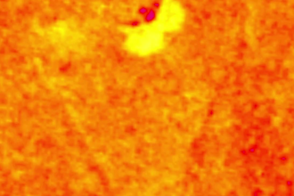
Remote Sensing Specialist with over 15 years of hands-on experience in satellite image analysis for mineral exploration (gold, copper, platinum), archaeological site detection, and hydrocarbon prospecting. I download and process thousands of images from reliable sources using professional tools like ENVI, ArcGIS, QGIS, SNAP, and PCI Geomatica.
Expertise in optical/SAR data, PCA, Band Ratio, fault line extraction, and creating high-accuracy prospecting maps.
... Mehr lesen