b
bairavy

Bairavy Aru

@bairavy

Satellite Mapping and Spatial Analysis, MSc in the field of Remote Sensing

Deutschland
Englisch, Tamil, Singhalesische Sprache
Einige Informationen werden in englischer Sprache angezeigt.
Über mich
I am currently pursuing an MSc in the field of GIS and Remote Sensing and am based in Germany. I turn satellite and spatial data into maps and analysis you can defend in a report, a paper or a client meeting. What I do: land use / land cover classification and change detection (Sentinel-1, Sentinel-2, Landsat), NDVI and other index mapping, georeferencing and digitisation, DEM and terrain analysis, and publication-quality cartography. Tools: ArcGIS Pro, QGIS, SNAP. I work in CET and reply the same working day.... Mehr lesen

Kompetenzen

b
bairavy
Bairavy Aru
offline • 
Durchschnittliche Antwortzeit: 1 Stunde

Meine Dienstleistungen

Geoinformationssysteme (GIS)
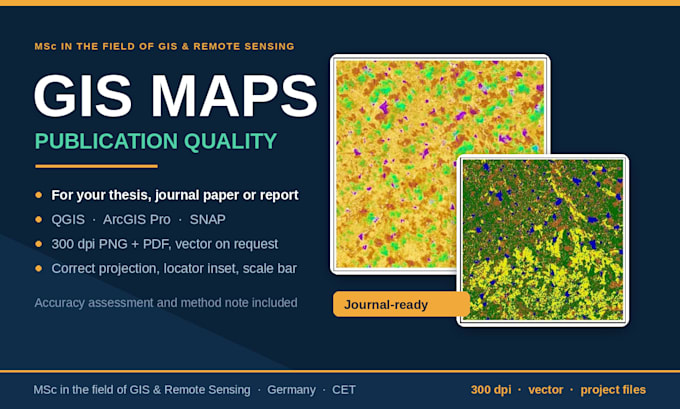
I will create professional gis maps for your thesis, report or publication
Geoinformationssysteme (GIS)
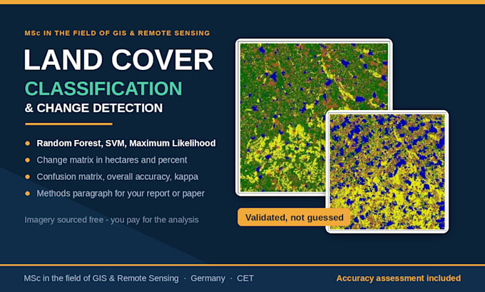
I will do land use land cover classification and change detection

Arbeitserfahrung

University_of Moratuwa

Graduate Research Assistant

University of Moratuwa • Vollzeit

Aug 2025 - Jan 20265 mos

Processed Sentinel-1 SAR and Sentinel-2 optical satellite imagery, including full SNAP preprocessing and multi-modal data fusion. Extracted spectral indices, radar backscatter, and GLCM texture features, then applied SPCA for dimensionality reduction. Performed land-use/land-cover classification using Random Forest, SVM, and Maximum Likelihood, with full accuracy assessment. Conducted GIS spatial and temporal analysis, including Mann-Kendall trends, Moran's I, Getis-Ord Gi* hotspots, and buffer-zone analysis. Produced publication-quality maps, charts, and fully referenced academic reports.