Einige Informationen werden in englischer Sprache angezeigt.
Über mich
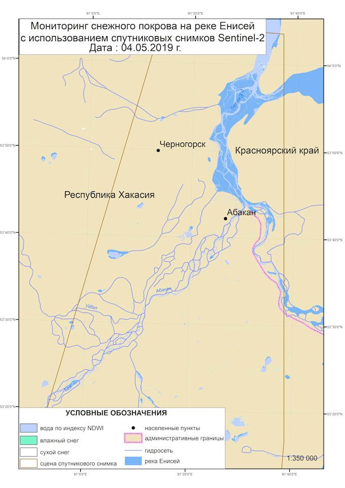
Hi! I’m a GIS Specialist with experience in spatial analysis, remote sensing, and cartographic design. I work with QGIS, ArcGIS, Google Earth Engine, and satellite data (Landsat, Sentinel) to deliver high-quality maps and analyses.
I can help you with:
Land use and land cover classification
Crop and forest monitoring
Spatial data visualization and mapping
Geoprocessing and data analysis in QGIS/ArcGIS
Custom map design for reports or presentations
I always focus on accuracy, clear visualization, and timely delivery. Let’s turn your data into insights!... Mehr lesen